Mapping
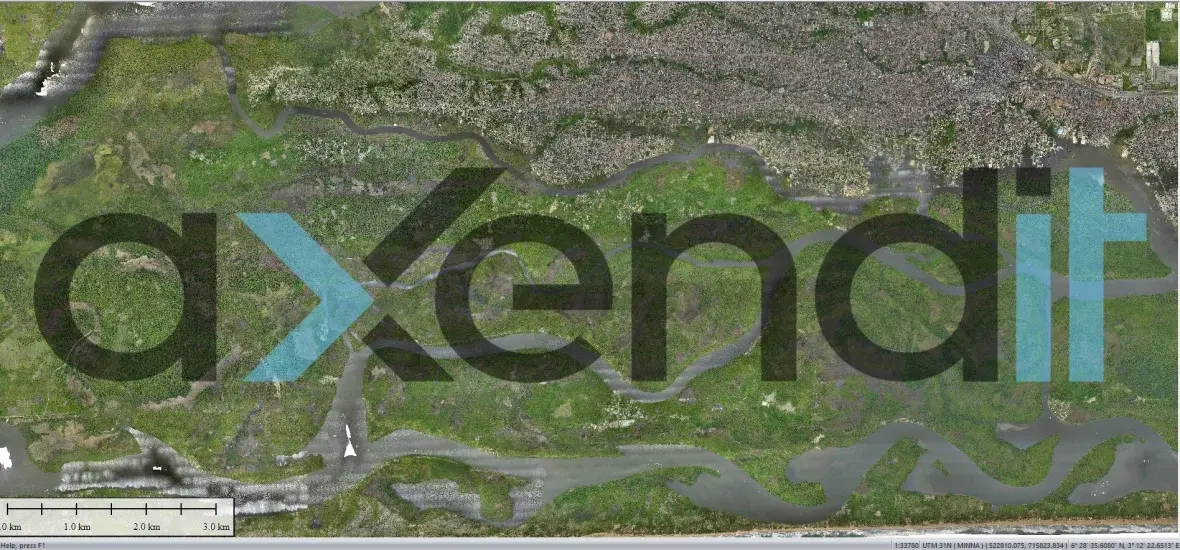
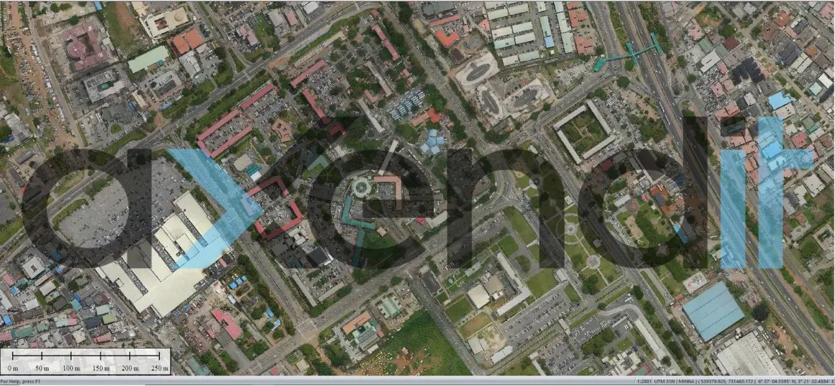
UAVs are an ideal tool to perform mapping services and capture high-resolution, geo-referenced aerial photographs (orthophoto). Governments and local administrations use more and more UAVs to generate and update aerial maps of the lands that they administer. Such imagery is of much higher precision than available satellite imagery and much cheaper than conducting manned missions using planes. Accessing satellite data is costly and not as effective in many cases as closer drone imaging. Because drones fly close to the ground (typically at 100-1,000 meters altitude, depending on missions and authorizations), cloud cover and poor light conditions matter less than when using satellite imaging. Satellite imaging may offer the meter accuracy, but drone imaging is capable of producing accurate image location to the millimeter.
The generated high-resolution imagery shows the land, sea, and other physical attributes of the area mapped, which can be processed and made available on a geo-portal enabling more effective development planning, management of spatial resources, as well as monitoring of environmental pollution. The data generated is also a valuable source of information for residents and investors.