Use Cases
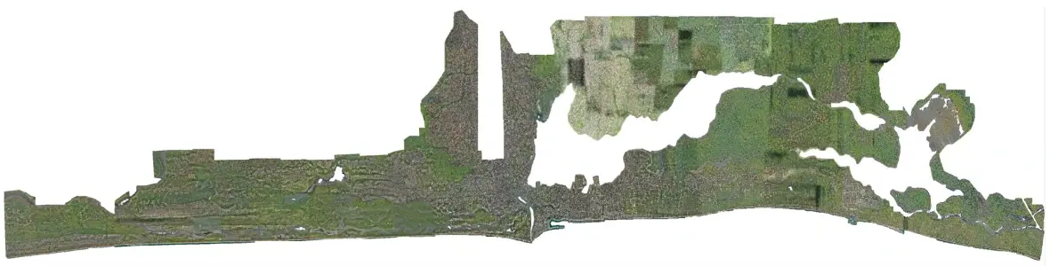
High precision orthophoto map for Lagos State using UAVs as a further phase of the Lagos eGIS Project (2022)
2.7cm high precision & accuracy orthophoto map produced for Lagos State using UAVs. Used every day by land surveyors.
Mapping of 3,700km2 excluding Lagos Airport landing strip (restricted airspace) realized over 6-9months. Pioneering project, with significant knowledge transfer and local capacity building.
Additional video coverage for monitoring and inspection of shoreline erosion, adhoc data capture of incidents (pipeline explosion & other)
Provision of Unmanned Aerial Vehicles for land data capture and update as part of the Lagos eGIS Project (2019-20)
One of the largest technology projects in West Africa.
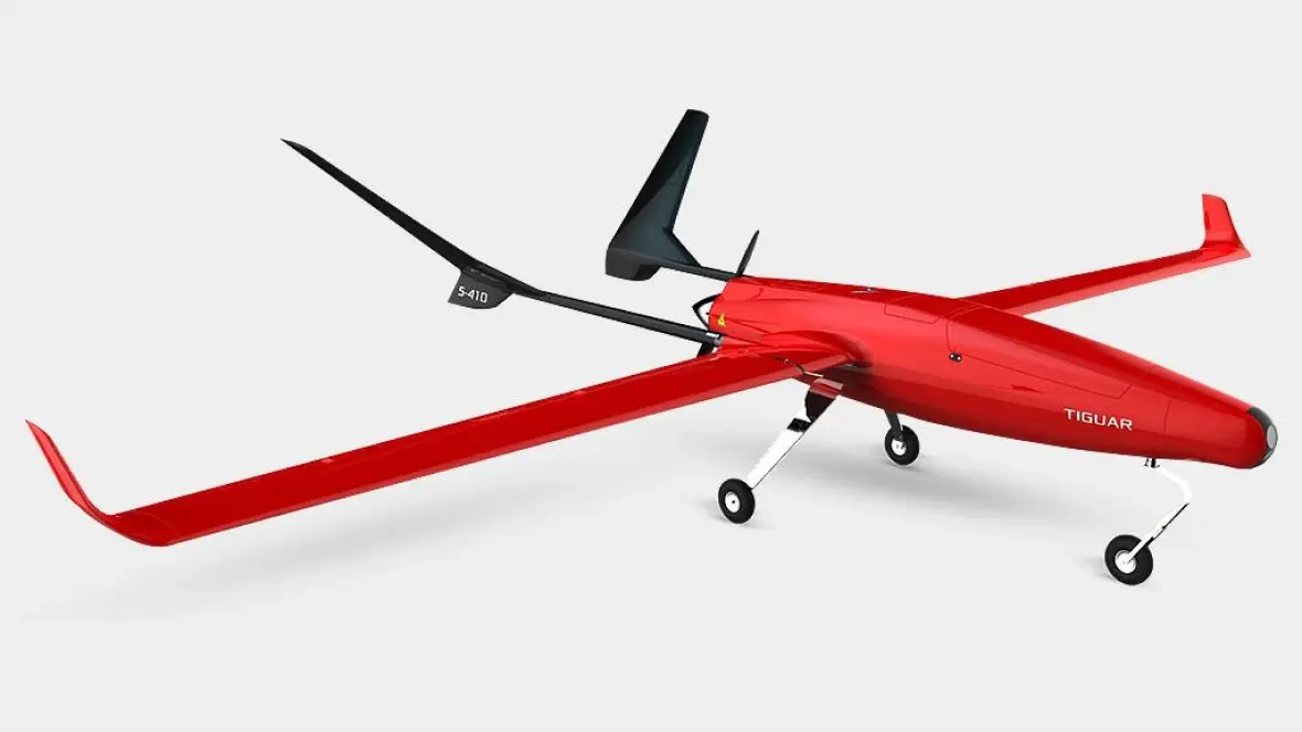
Provision of 2 Tiguar UAVs (internationally awarded Polish UAV platforms), land data capture payload (including LiDAR), ground control stations and flight simulator.
Training and certification of pilots both in Poland and in Nigeria.
Maintenance service for both the hardware (UAV platforms) and software system components.
Parameter
Value
Wingspan
4m
Length
2.32m
Weight
14kg empty, 25kg max takeoff weight
Max payload weight
8kg
Propulsion type
Gasoline powered motor
Takeoff
Grass, football field, hardened road, launcher
Flight ceiling
1500m AMSL
Endurance
6-9h
Speed
Min 13m/s, Cruise 25m/s, Max 40m/s
Range
500km in automated mode, 60km in manual mode
Flight types
Manual mode assisted with flight control corrector or fully automated flights (including take-off & landing)
Precision Farm Planning Projects Using UAVs (2024)
Asseco Software Nigeria Limited has been engaged to conduct several mapping projects in the agricultural sector using UAVs.
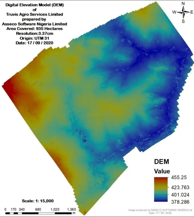
One such project comprised a farm area located at Ado Ekiti, Ekiti State, covering 930 hectares, which was mapped for the generation of an orthophoto mosaic and a digital elevation model (DEM). The orthophoto will help to accurately make decisions on precise irrigation planning for a ginger farm. The importance of the orthomosaic is to be able to get a real-time aerial imagery that would give insight on the features present on the ground and to provide useful and precise information how to properly cultivate the crops. The DEM generated gives the precise nature of the land, its gradient and elevations for irrigation planning.